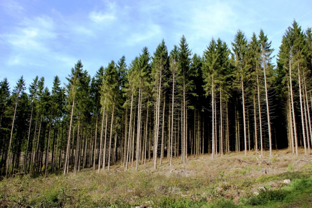
Reforestation: Murree blues to turn green with forests
2,300 acres recovered by WWF, forest department in 2010.

Some 2,300 acres of forest were recovered in Murree in 2010. The World Wide Fund (WWF) collaborated with the forest department to carry out the anti-deforestation drive.
The collaboration led to an agreement between the WWF and the forest department on May 22. Under the agreement, the WWF will provide technical help to the department in tracing the original map of the forest, detecting biodiversity and providing a geographic information system (GIS).
The project plans to fence the Murree forests by erecting pillars on their boundaries. This is not the first time this has happened. An attempt to preserve the forests was also made back in 1876 by erecting pillars, which were later removed as the population grew and accommodating them took preference over the preservation of the forest. According to an 1876 GIS map, these forests back then covered a total area of 47,000 acres.
The WWF director general, Ali Habib, told The Express Tribune that of 107 different schemes encroaching upon the forest, 17 housing schemes have been demolished so far. He was hopeful that the remaining settlements will also be removed within three years.
Habib added that along with reforesting the acquired area, WWF will try to introduce
species of plantation and animals that had previously inhabited it.
The forest department bolstered its efforts after Punjab chief minister declared Murree an environmentally-sensitive region and a National Park in 2009. The construction projects approved before 2009 were allowed to be completed, while the unapproved projects, some already underway, were halted.
Published in The Express Tribune, May 29th, 2011.


COMMENTS
Comments are moderated and generally will be posted if they are on-topic and not abusive.
For more information, please see our Comments FAQ