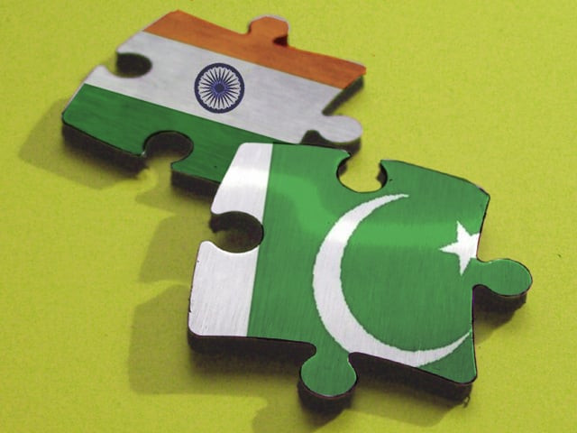
Head of the Indian delegation, Surveyor General Subba Rao told media after the first round of discussions in New Delhi, that his Pakistani counterpart has showed flexibility to resolve the issue given they discussed the matter with an open mind.
"They have come with an open mind. I think they are trying to be a bit flexible now. So let us see what happens. It is too early. We just started," he said.
The creek, which opens up to the Arabian Sea, has been an issue for decades. India says the creek boundary should be in the middle of the estuary, while Pakistan says the border should lie on the south-east bank. The 96km disputed area lies between India's Gujarat state and Pakistan's southern Sindh province.
Rear Admiral Farrukh Ahmed, head of the Pakistani delegation, said it was premature to comment after the opening round of talks ended.
"As you understand we are in the 12th round of talks to find out options, to propose a way forward. As far as the resolution of the Sir Creek issue is concerned, we have had our preliminary conversation with our Indian counterparts. We have to cover some grounds, in the afternoon we are supposed to meet again," said Ahmed.
"Tomorrow, we have a full-fledged day-long session. So, I believe it would be too premature at this stage to say anything or to be able to comment on this issue," he added.
Analyst Ashok Malik said there is a growing perception that the Sir Creek dispute is “doable”. The phrase, he said was apparently used during the Zardari-Singh conversation on April 8.
The Sir Creek dispute goes back almost exactly 100 years. The Creek is around 100 km long water body that stretches from the marshes at the edge of the Rann of Kutch to the Arabian Sea. In 1913, it came to be contested between the Rao Saheb of Kutch and the Chief Commissioner of Sindh. There was a difference of perception between the Indian princely state and the British province regarding the boundary line between them.
Sir Creek was not seen as particularly valuable. The conflict had arisen after locals from both provinces had begun to explore the Creek area for firewood. The case was referred to the government of Bombay. It conducted a survey and offered its opinion in 1914. That verdict is at the root of the current India-Pakistan dispute.
In 1947, when India and Pakistan became independent countries, Sir Creek became a part of a gamut of contested boundaries. The Rann of Kutch itself was the location of the 1965 war. After the war, India and Pakistan agreed to an UN-facilitated international arbitration tribunal to demarcate the India-Pakistan border in the Kutch sector. In 1968, the tribunal gave its award and drew a boundary of some 450 km between the two countries and between the state of Gujarat (into which the old Kutch had been incorporated) and the Sindh province. Many years later, the differences between India and Pakistan have refused to die. In a marshy landscape, where exactly the Creek began is itself a tricky question.
During the two-day talks, Pakistan is expected to reiterate its commitment to resolve the issue keeping in view the historical perspective and in line with the content and spirit of the 1914 resolution.


COMMENTS
Comments are moderated and generally will be posted if they are on-topic and not abusive.
For more information, please see our Comments FAQ