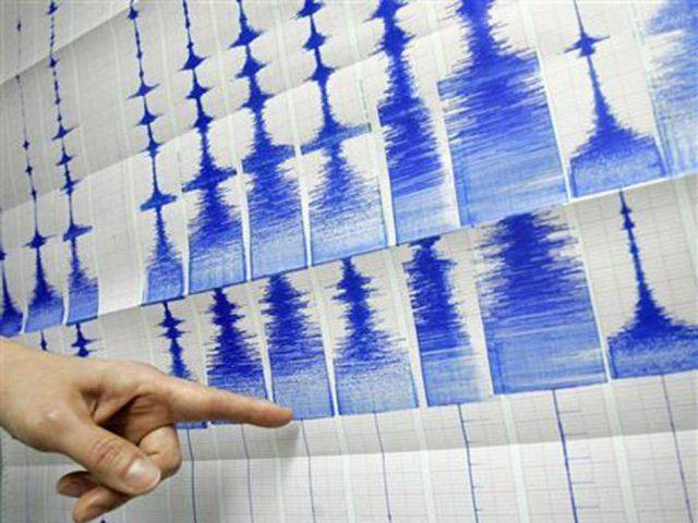
4.4 magnitude earthquake shakes K-P, Islamabad
Quake hits 25 kilometres southeast of Mingora in K-P, says National Seismic Monitoring Centre

An earthquake of magnitude 4.4 jolted Islamabad and parts of Khyber-Pakhtunkhwa (K-P) on Thursday, according to the National Seismic Monitoring Centre.
The NSMC said that the earthquake hit 25 kilometres southeast of Mingora in K-P with a depth of 20km.
Paris-based earthquake monitoring centre EMSC shared on its official Twitter handle map of areas where tremors were felt.
Map of felt reports received so far following the #earthquake M4.9 in Pakistan 1hr 8min ago pic.twitter.com/GA6fDFKpah
— EMSC (@LastQuake) June 17, 2021
No reports of casualties or loss of property have been reported so far.
In April, a quake, measuring 5.4 on the Richter scale, had jolted Swat, Peshawar, Chitral and other areas of Khyber-Pakhtunkhwa.
According to the National Seismic Monitoring Centre, the depth of the quake was 169 kilometres with the epicentre being the Hindukush mountain range in Afghanistan.
Several people were reported to have rushed out of their homes in panic following the tremors.


COMMENTS
Comments are moderated and generally will be posted if they are on-topic and not abusive.
For more information, please see our Comments FAQ