Pakistan rejects political maps issued by India
FO terms them ‘incorrect, legally untenable, void and in complete violation of the relevant UNSC resolutions’

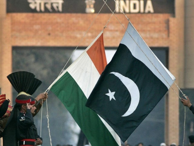
PHOTO: REUTERS/FILE
The Foreign Office expressed these reservations over the maps in a statement issued on Sunday.
“The political maps of India, issued by the Indian Home Ministry on November 2, 2019, displaying Jammu and Kashmir region and seeking to depict parts of Gilgit-Baltistan and Azad Jammu and Kashmir within the territorial jurisdiction of India, are incorrect, legally untenable, void and in complete violation of the relevant United Nations Security Council Resolutions,” read the statement.
“Pakistan rejects these political maps, which are incompatible with the United Nations’ maps.”
Pakistan rejects Indian claims about 'so-called launchpads' targeted along LoC
According to the statement, “No step by India can change the ‘disputed’ status of Jammu and Kashmir recognised by the United Nations.”
The FO said such actions by India could never affect Kashmiris’ struggle for their rights. “Such measures by the government of India cannot prejudice the inalienable right to self-determination of the people of Indian Occupied Jammu and Kashmir,” read the statement.
It concluded with an assertion of Pakistan’s continued support for the “legitimate struggle of the people of Indian Occupied Jammu and Kashmir for exercising their right to self-determination in accordance with the relevant UN Security Council resolutions.”


COMMENTS
Comments are moderated and generally will be posted if they are on-topic and not abusive.
For more information, please see our Comments FAQ