Red liquid thrown at Iranian opposition figure Reza Pahlavi during Germany visit
Updated 41 minutes ago
Most public transport was suspended on Sunday, including ferries amid high sea swells

Hong Kong issued its highest storm warning on Sunday as Typhoon Wipha, packing winds of more than 167 kilometres (103 miles) per hour, brought heavy rain and wind across the territory, forcing the cancellation of more than 200 flights.
The city's weather observatory raised its storm signal to No. 10 at 9:20 a.m. (0120 GMT) and said it expected it to remain at that level "for some time".

A woman braves strong winds as Typhoon Wipha approaches, in Hong Kong, China, July 20, 2025. REUTERS/Tyrone Siu
Wipha will skirt around 50 km to the south of the observatory, the warning showed.
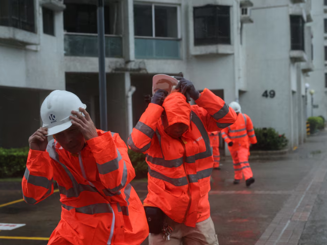
Workers brave strong winds as Typhoon Wipha approaches, in Hong Kong, China, July 20, 2025. REUTERS/Tyrone Siu
Hurricane-force wind is affecting the southern part of Hong Kong, the observatory said.
Cathay Pacific Airways cancelled all of its flights arriving or departing Hong Kong airport between 5 a.m. and 6 p.m. on Sunday. It waived ticket change fees and made arrangements for customers to re-book.
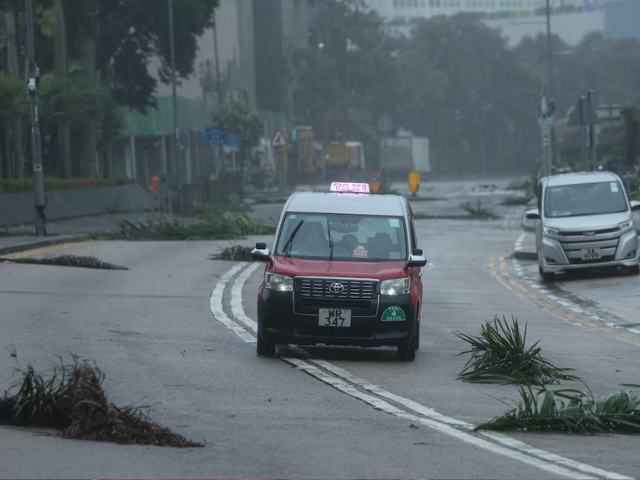
A taxi drives past debris as Typhoon Wipha approaches, in Hong Kong, China, July 20, 2025. REUTERS/Tyrone Siu
Most public transport was suspended on Sunday, including ferries amid high sea swells.

A man struggles with an umbrella while walking against strong wind, as Typhoon Wipha approaches, in Hong Kong, China, July 20, 2025. REUTERS/Tyrone Siu


This material may not be published, broadcast, rewritten, redistributed or derived from. Unless otherwise stated, all content is copyrighted © 2026 The Express Tribune.


COMMENTS
Comments are moderated and generally will be posted if they are on-topic and not abusive.
For more information, please see our Comments FAQ