Losing ground: CDA, ICT still at loggerheads over capital’s boundaries
Some officials prefer demarcation based on 1963 land survey, others prefer limits identified in LG act

PHOTO: FILE
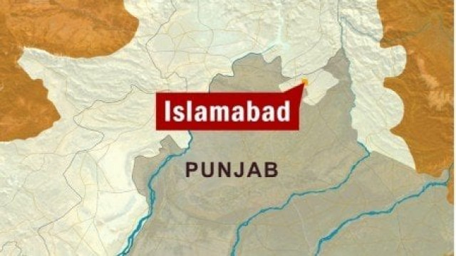
The Islamabad Capital Territory (ICT) Administration and the Capital Development Authority (CDA) huddled at a brainstorming session on Wednesday to explore the ways they could solve the issue and definitively mark the boundaries of the Islamabad Capital Territory (ICT).
However, officials failed to find a solution, deadlocked on whether the boundaries should be marked as per a 1963 survey conducted by Survey of Pakistan or in as per the ICT limits defined from 1979 to 1981 under the Local Government (LG) Acts.
CDA in a fix over parking plazas in Blue Area
“A difference of opinion still exists even amongst CDA Master Plan Director and Regional Planning Director over the issue,” CDA officials privy to matter told The Express Tribune.
They said that the former was in favour of demarcating the city as per the 1963 survey while latter was adamant that boundaries must be demarcated in accordance with the ICT limits notified in 1979, 1980 and 1981 in the LG acts.
CDA Member Planning and Design Asad Mehboob Kiyani told The Express Tribune that if boundaries are fixed in accordance with the 1963 survey, the ICT may end up losing several revenue estates (mouzas) which are part of ICT since limits were first notified by LG Acts.
CDA yet to devise lease renewal policy for commercial plots
Recently, Chief Justice of Pakistan Mian Saqib Nisar had directed ICT and CDA to prepare for on-ground demarcation of boundaries and submit a complete map of the capital’s boundaries to the court.
During the course of hearings, it was unearthed that ICT limits notified in 1979, 1980 and 1981 LG Acts were different to those CDA had marked on its plans in 1963 with the help of Survey of Pakistan.
The SC had directed ICT administration and CDA to come up with an applicable and valid demarcation to resolve the ambiguity regarding ICT limits.
Some CDA officials expressed fears that ICT boundaries could shrink by around 37 square kilometres if limits identified in the 1963 survey are implemented.
This, they feared, would provide an opportunity to unscrupulous developers to expand their illegal housing schemes into these areas and build private housing societies there without adhering to CDA’s Zoning Regulations. Given the proximity to the capital of these areas, it would lead to a chaotic increase in housing societies in these areas.
ICT may lose estate
“The exclusion of these revenue estates would cause municipal, administrative and territorial problems for residents of these areas, particularly those in Zone-I, Zone-IV and Zone-V,” CDA Land and Revenue Department officials told The Express Tribune.
Moreover, officials in CDA’s legal wing say area from any province can neither be included in the federal capital territory nor any land of federal capital territory could be annexed by any province without approval from the Council of Common Interests (CCI).
According to the 1960 master plan, the capital territory included Rawalpindi and was to be composed of the following parts: 259 square kilometres of Rawalpindi, 906 square kilometres of urban Islamabad, 220.15 square kilometres of Margalla Hills, 446.20 square kilometres of rural areas of Islamabad.
The 1963 survey had mapped the capital on the basis of survey girds. But for 16 years, from 1963 to 1979, no one bothered to prepare a proper schedule of revenue details in accordance with survey mapping of Islamabad.
However, in 1979, the then president of Pakistan notified ICT limits under the Islamabad Local Government Ordinance 1979. This ordinance also provided the scheduled for mouzas, khasras and other revenue details.
In 1981, a presidential notification largely separated Rawalpindi from ICT but some areas of Rawalpindi and Murree were retained in the capital territory.
Published in The Express Tribune, April 26th, 2018.


COMMENTS
Comments are moderated and generally will be posted if they are on-topic and not abusive.
For more information, please see our Comments FAQ