Quarrying in the hills: Govt counsel submits 10 images of Margallas
Court asks for complete set of images to be produced at the next hearing
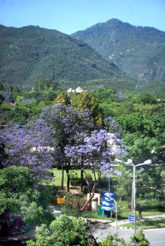
Suparco extended all possible cooperation within a short span of time, which is highly appreciated and acknowledged, he said. PHOTO: APP
The two judge bench, headed by Chief Justice Anwar Zaheer Jamali ordered the federal government to produce complete 40 satellite images of the area for 2016 on the next date of hearing.
During the hearing, Additional Attorney General (AAG) Muhammad Waqar Rana produced 10 satellite images of the area for 2016.
The Pakistan Space and Upper Atmosphere Research Commission (Suparco) is the only organisation, which has the technology to take satellite images of the Margalla Hills National Park area.
During the hearing, the bench observed that 80 per cent stone crushing is taking place illegally.
The top court bench however accepted the petitions of stone crushers for regular hearing.
The hearing of case was adjourned till the first week of August.
Later, AAG Waqar Rana clarified that Suparco provided the images free of cost.
Suparco extended all possible cooperation within a short span of time, which is highly appreciated and acknowledged, he said.
Published in The Express Tribune, July 21st, 2016.












COMMENTS
Comments are moderated and generally will be posted if they are on-topic and not abusive.
For more information, please see our Comments FAQ