Natural disasters: Comprehensive survey to be conducted in nine districts
Coordinators to use smartphones to collect, enter data of settlements near rivers.
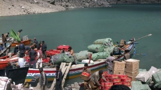
The Provincial Disaster Management Authority (PDMA) will conduct a detailed study of settlements located within 10 kilometres of major rivers in nine districts.
This was announced by the authority director general Mujahid Sherdil on Saturday during a meeting to evaluate preparations for dealing with floods this year.
He said that the settlements have already been marked on a map with the help of Geographic Information System. An Android-based data entry application has been developed to help in the collection of data regarding the vulnerability of the villages.
Sherdil said that the District Disaster Risk Management Coordinators (DDRMC) would be responsible for the completion of the survey. They will be assisted by district administrations.
Sherdil added that the PDMA coordinators would be given smart phones, using which they could enter data directly.
The smart phones will also be used to take geo-tagged pictures of infrastructure in each village to help create a database of buildings and structures that can be utilised to provide shelter or medical aid to people displaced from other areas.
The coordinators will also collect information on the number of people residing in the settlements, people who would require extra care in case of an evacuation, the number of households and the number and condition of schools, dispensaries, godowns, police check posts and other facilities.
The data will then be superimposed on the topographical layout of the districts to help plan emergency operations in case of a natural calamity.
Published in The Express Tribune, May 27th, 2012.








COMMENTS
Comments are moderated and generally will be posted if they are on-topic and not abusive.
For more information, please see our Comments FAQ