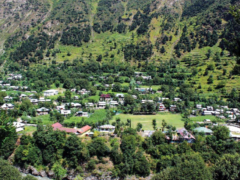
The Neelum Valley is a 200 kilometre-long, bow-shaped thick forested region in Azad Jammu and Kashmir (AJK), and named after the Neelum River, which flows through the length of the valley.
The valley is situated in the north-east of Muzaffarabad, running parallel to the valley of Kaghan. The two valleys are separated by snow-covered peaks, some over 4,000 meters (13,000 ft) above sea level. The valley stretches from about 50 kilometres north of Muzaffarabad to the existing Line of Control between AJK and Indian Kashmir.

The valley is connected to Muzaffarabad by the Neelam Road, which leads up to Kel. In the winters, the road from Keran onwards is blocked due to heavy snowfall, making it difficult to reach the upper parts of the valley.
The Neelum Valley is filled with beautiful and historic places, such as Sharda Peeth. Popular towns and villages in the valley include Kundal Shahi, Jura, Athmuqam, Kuttan, Keran, Dowarian, Dudhnial, Sharda, Tehjian, Kel, Arang Kel and Taobat. The valley’s major lakes include Chitta Katha, Shounter and Ratti Gali.
Many points along the road pass by towns and villages in Indian Kashmir, such as the Chehlana-Tithwal sector and Keran.
In 2013, an official for the tourism ministry estimated that 600,000 people visited the valley that year compared to 130,000 in 2010, owing the numbers to the Chinese-built road linking the area to Muzaffarabad, after the 2005 earthquake.

Tourism injects much-needed money into one of the poorest parts of the country. Though foreign tourists have declined over the years, the new roads allow Pakistanis to discover the snow-capped peaks, lakes and lush-green meadows of the picturesque valley.
Published in The Express Tribune, August 20th, 2015.


1725443747-0/Untitled-design-(5)1725443747-0-165x106.webp)


COMMENTS (5)
Comments are moderated and generally will be posted if they are on-topic and not abusive.
For more information, please see our Comments FAQ