Dutch firm to conduct MH370 underwater search
Dutch firm will conduct deep-water search in Indian Ocean for missing MH370 from Sep, says Australia

Dutch firm to conduct MH370 underwater search
Fugro Survey will use its state-of-the-art vessel MV Fugro Equator and the Fugro Discovery to search a 60,000 square-kilometre zone in the southern Indian Ocean.
"The underwater search will aim to locate the aircraft and any evidence, such as debris and flight recorders, to assist the Malaysian investigation team on the disappearance of MH370," Australian Deputy Prime Minister Warren Truss said.
"The Malaysian government have also offered equipment which will participate in that search and of course, there's a Chinese vessel already operating in that area in relation to the survey."
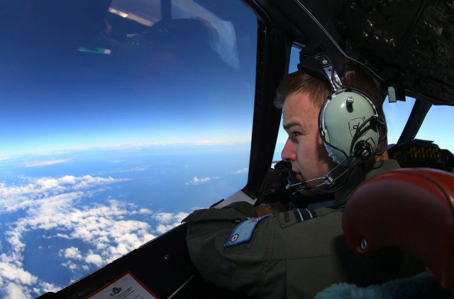
A huge air and sea surface search has failed to find any sign of MH370, which went missing on March 8 with 239 people on board. Authorities believe the doomed airliner veered mysteriously from its Kuala Lumpur-Beijing route before crashing in the remote Indian Ocean.
The Fugro Equator is currently working with Chinese PLA-Navy ship Zhu Kezhen to map the seabed in the search area, based on the missing plane's last satellite communication around 1,800 kilometres west of Perth.
The Fugro Discovery is en route to Perth from Britain, with the deep-water search expected to take up to a year to complete.
Both vessels have towed deep-water vehicles and crew with search expertise, Australia's Joint Agency Coordination Centre said. The sea floor search will use sonar equipment and video cameras to locate and identify any debris.
Truss said he remained "cautiously optimistic that we will locate the missing aircraft within the priority search area". He added that the search "will obviously be a challenging one".
Martin Dolan, commissioner of the Australian Transport Safety Bureau, the agency leading the search, said the underwater mapping survey due to end in mid-September was discovering "some surprises".
"We haven't completed the mapping, so we are still discovering detailed features that we had no knowledge of - underwater volcanos and various other things," Dolan said.
Truss said the discoveries "demonstrated why this mapping was so necessary".
"The ocean is not just simply flat and featureless," he said of the underwater terrain in the search zone, which is about half the size of peninsular Malaysia. About 60 percent of the area has been mapped so far.
"There's quite a lot of geological features there that will be a challenge in the search, that we needed to be identified to make it actually possible to undertake the sonar work that is going to occur from now on," Truss added.
The underwater search contract could cost US$48 million if it stretches up to a year, he said.


COMMENTS
Comments are moderated and generally will be posted if they are on-topic and not abusive.
For more information, please see our Comments FAQ