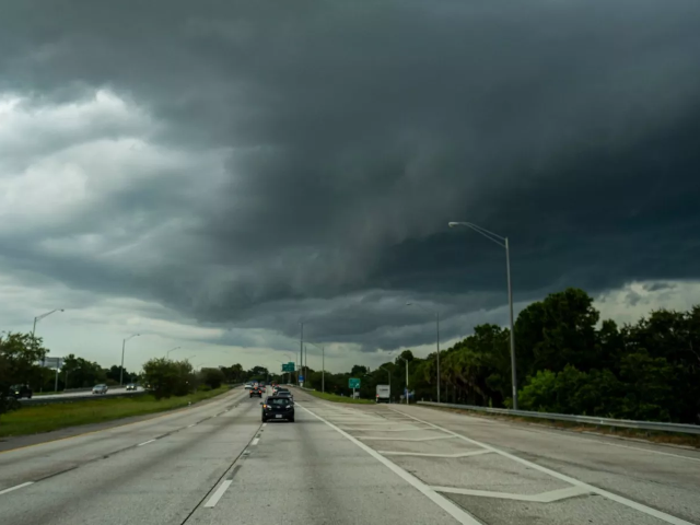
Tornado watch issued in Oklahoma as severe storms threaten region
Severe storms with tornadoes, large hail, and damaging winds are expected in Oklahoma

A tornado watch has been issued for much of Oklahoma, including the Oklahoma City (OKC) metro area, as severe storms are expected to sweep through the state early Wednesday morning.
The tornado watch is in effect until 10 a.m. Wednesday local time (8 p.m. PKT, Wednesday).
A tornado watch means that conditions are favorable for the formation of tornadoes, though none have been confirmed yet.
It is issued when there is a heightened risk of severe thunderstorms and tornadoes in a specific area, and residents are advised to be prepared and stay alert to weather updates
. A tornado watch does not mean a tornado is imminent but signals the potential for dangerous weather.
According to KOCO 5 Meteorologist Jonathan Conder, the storms, which began around 3 a.m. local time (1 p.m. PKT) in east-central Oklahoma near El Reno and Enid, have the potential to produce strong tornadoes, large hail, and damaging winds.
The storm system is moving rapidly eastward, with the Oklahoma City metro area expected to be impacted by 4 a.m. local time (2 p.m. PKT).
The storms are set to pass east of Interstate 35 and the OKC metro by 6 a.m. local time (4 p.m. PKT) Wednesday, continuing into eastern and southeastern Oklahoma between 8:30 a.m. and 11 a.m. local time (6:30 p.m. to 9 p.m. PKT).
The highest storm risk after 7 a.m. local time (5 p.m. PKT) will be in southeastern Oklahoma, where a Level 3 Enhanced Risk has been issued. This indicates a higher likelihood of severe weather, including intense tornadoes.
Additionally, a rare Level 5 High Risk warning has been issued for the Mississippi River Valley, signaling an even more dangerous storm threat.
Residents across Oklahoma are advised to stay informed, monitor weather updates, and take appropriate precautions as the storms continue to develop.


COMMENTS
Comments are moderated and generally will be posted if they are on-topic and not abusive.
For more information, please see our Comments FAQ