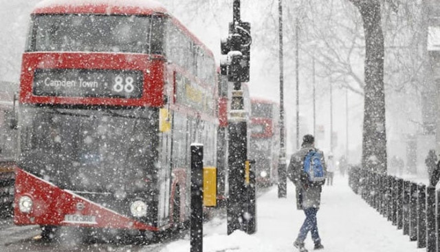
UK braces for Baltic storm bringing heavy snow and -9°C temperatures
In England, Northumberland may receive between 1-3cm of snow, though the chance of snowfall decreases further south

The UK is preparing for a wave of rain, snow, and freezing temperatures as a Baltic storm is expected to hit, plunging the mercury to as low as -9°C in some regions. Latest forecasts from WCHARTS indicate that certain areas could see snowfall of up to 10cm as temperatures drop across the country.
Scotland is forecast to bear the brunt of the storm, with snow accumulation reaching up to 10cm near Ben Nevis and Glencoe, and even more intense snowfall in the Highlands, where up to 17cm per hour is expected on Monday, November 18. Cities including Glasgow and Stirling are also expected to see snow, though with lighter coverage estimated at between 1-5cm.
In England, Northumberland may receive between 1-3cm of snow, though the chance of snowfall decreases further south.
Accompanying the snow will be bitterly cold temperatures, with lows predicted to reach -9°C in parts of Scotland and -3C in England. The Highlands are expected to see temperatures ranging between -9°C and --1°C on Saturday, November 23. In Scotland’s cities, Edinburgh is forecast to fall to --4°C, Glasgow to --2°C, and Dumfries to --1°C.
England’s coldest temperatures are forecast for Yorkshire, slightly south of the snowfall predicted in Northumberland. The Yorkshire Dales area could drop as low as --3°C.
The storm is also set to bring rain to parts of England, particularly in the southwest. According to weather maps, areas including Exmoor, Ilfracombe, Newquay, and St Ives in Devon and Cornwall could see rain rates of around 1mm per hour.
In a recent long-range forecast covering November 12 to 21, the Met Office warned of fluctuating weather conditions and a mix of dry and wet spells. "Likely still a good deal of dry weather during the middle of next week. Most areas should be largely dry with a good chance of sunny spells but also scope for overnight frost in clearer areas,” the Met Office stated.
They added, "The influence of high pressure is likely to decline through the course of next week with an increasing chance of showers or longer spells of rain, initially more likely in the east. However, there is currently significant uncertainty in how quickly conditions turn more unsettled. Thereafter, likely more mixed conditions with some wetter, windier weather at times but also some drier interludes bringing the chance of morning fog patches. Temperatures overall around average though with potential for some rather cold spells."
The country now awaits the arrival of the storm, as temperatures plummet and residents brace for challenging winter conditions.


COMMENTS
Comments are moderated and generally will be posted if they are on-topic and not abusive.
For more information, please see our Comments FAQ