Re-demarcation: Legal challenges loom over ICT boundaries
Officials fear key revenue estates could be affected by redrawn boundaries

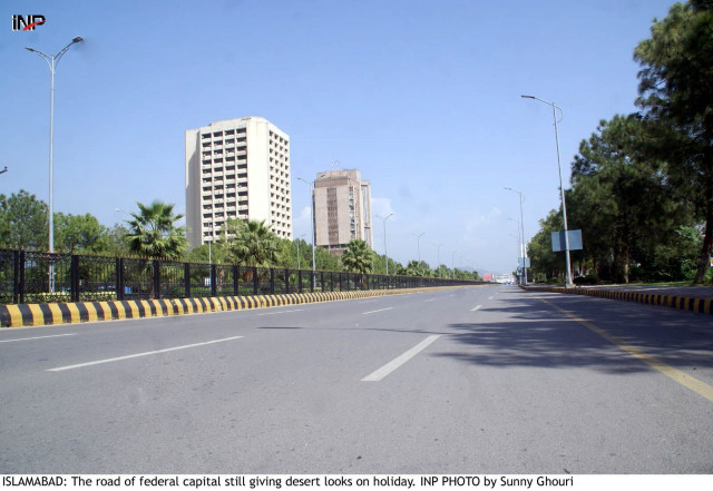
Legal challenges loom over ICT boundaries. PHOTO: INP
In compliance with court orders, the Islamabad Capital (ICT) administration and the Capital Development Authority (CDA) are currently re-demarcating the boundaries of the ICT in accordance with a land survey of 1963. They are being assisted by the Survey of Pakistan for this purpose.
However, the re-demarcation may result in the ICT see its boundaries shrink, and resultantly lose several revenue estates (mauzas).
“The exclusion of these revenue estates would cause municipal, administrative and territorial and legal problems for residents of these areas, particularly those residing in Zone-I, Zone-IV and Zone-V,” an official at CDA’s Land and Revenue Department told The Express Tribune.
ICT may lose estate
Sources say neither the CDA nor the ICT has any right to include or exclude any area from federal capital territory without permission from the Council of Common Interest (CCI).
CDA officials privy to the matter, who spoke to The Express Tribune on the condition of anonymity, said that owing to the fresh boundary demarcation, a large section of the ICT along with Sector C-17 have been excluded from the capital.
Moreover, if the demarcations continue as per the survey carried out in 1963, it could see the width of the Islamabad Highway halved from its existing width. The highway is currently 1,200 feet wide but could be reduced to just 700 feet.
Similarly, the width of IJP Road would be reduced from its current 600 feet to just 350 feet.
“There are straight lines where the difference can be managed properly, whereas, at other locations, where the boundary is uneven, curved or spiralling, the difference could not be ascertained,” a CDA official said.
District boundaries throughout Pakistan are marked on the basis of revenue details on each piece of land falling under of that district.
The Islamabad district was notified in 1979 -1981 under the Islamabad Local Government Act. But to date, the notified area has not been demarcated on the ground.
Another CDA official said that demarcating boundaries of the capital according to the 1963 survey was of no use at all. The official went on to describe it as a ‘waste of resources and time’. The official, who requested anonymity since he was not authorised to speak with the media, said that with the expansion of the capital city, a lot more developers in hand with land grabbers have illegally encroached on the land own by the central government, known as Rakh Sarkar in Punjab’s revenue officials’ terminology.
Land mafia starts construction on civil aviation land
Lohi Bher and Margalla Hills National Park (MHNP) are some of the areas where unscrupulous developers were encroaching on state land in connivance of a few corrupt elements among the revenue staff of ICTA and Punjab government.
Recently, Chief Justice of Pakistan Mian Saqib Nisar directed the ICT and CDA to prepare the on-ground demarcation of boundaries and to submit a complete map in the court.
During the course of hearings, it was unearthed that ICT limits notified under the LG Acts were different to the ones which the CDA had marked on its plans in line with the 1963 survey.
The SC had directed ICT administration and CDA to come up with applicable and valid demarcation to resolve the ambiguity regarding ICT limits. Some CDA officials expressed fears that ICT boundaries could shrink by around 37 square kilometres from existing limits.
Published in The Express Tribune, June 8th, 2018.


COMMENTS
Comments are moderated and generally will be posted if they are on-topic and not abusive.
For more information, please see our Comments FAQ