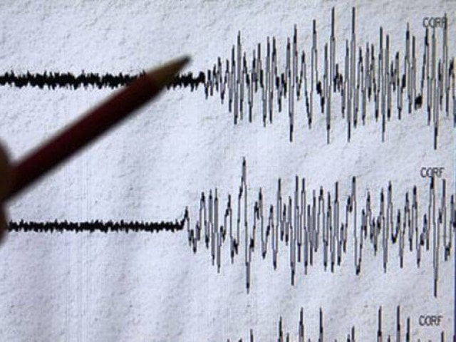
Magnitude 6.3 earthquake hits off Papua New Guinea
The quake hit some 96 kilometres southwest of Panguna, according to the US Geological Survey

The quake hit some 96 kilometres southwest of Panguna, according to the US Geological Survey. PHOTO: FILE
The quake hit some 96 kilometres (60 miles) southwest of Panguna at 0019 GMT, according to the US Geological Survey.
Prelim M6.3 earthquake Bougainville region, Papua New Guinea Feb-8 16:19 UTC, updates https://t.co/Qo9u6E9T9V
— USGS Earthquakes (@USGS_Quakes) February 8, 2016
The epicentre was 104 kilometres southwest of the larger town of Arawa also on Bougainville Island and USGS said it was 30 kilometres deep, which is considered shallow.
The seismologists had earlier reported the quake's strength at 6.7 magnitude, but later revised the figure.
No reports of casualties, major damage after Spain earthquake
The Hawaii-based Pacific Tsunami Warning Center had no warnings on its website after the quake.
Quakes are common on the island nation, which lies on the 4,000-kilometre-long Pacific Australia plate, which forms part of the "Ring of Fire", a hotspot for seismic activity due to friction between tectonic plates.


COMMENTS
Comments are moderated and generally will be posted if they are on-topic and not abusive.
For more information, please see our Comments FAQ