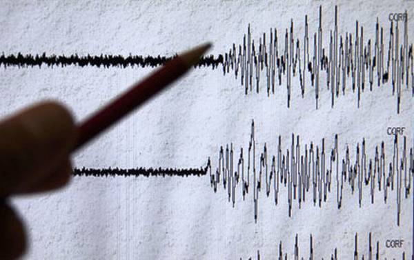
The quake hit at 00:38 am local time (1638 GMT Monday), the US Geological Survey said, and was centred around 300 kilometres (190 miles) northeast of Manado and 320 kilometres southeast of the Philippine city of General Santos.
Prelim M6.4 earthquake Kepulauan Talaud, Indonesia Jan-11 16:38 UTC, updates https://t.co/DfBDm9GBav
— USGS Earthquakes (@USGS_Quakes) January 11, 2016
Prelim M6.4 earthquake 233km SE of Sarangani, Philippines - No tsunami alert issued - https://t.co/HaI5G49lH7 pic.twitter.com/j7i1QhNVQD
— USGS (@USGS) January 11, 2016
The Pacific Tsunami Warning Centre said there was no tsunami threat from the quake.
In its preliminary impact assessment, the USGS said there was a low likelihood of casualties and damage from the tremor.
Indonesia sits on the Pacific "Ring of Fire" where tectonic plates collide, causing frequent seismic and volcanic activity in the region.
A 6.9 quake struck in the Banda Sea in December sparked panic but no reports of damage or casualties.


1736599343-0/fizza-(8)1736599343-0-165x106.webp)


1736605969-0/Copy-of-Untitled-(7)1736605969-0-270x192.webp)


1736508423-0/Express-Tribune---News-Desk-(9)1736508423-0-270x192.webp)

1736495887-0/sidra--(63)1736495887-0-270x192.webp)


COMMENTS
Comments are moderated and generally will be posted if they are on-topic and not abusive.
For more information, please see our Comments FAQ