Water war brews over 56km pipeline to Pithoro
Updated 5 hours ago

Officials said early detection of climate hazards could allow authorities to take preventive measures

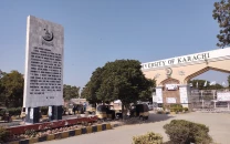
The fourth regional symposium on "Space for Climate," organised by the Space and Upper Atmosphere Research Commission (SUPARCO), has highlighted the need for greater use of satellite technology and scientific data to detect climate-related hazards and mitigate their impact.
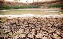
The symposium, held in Karachi, discussed climate change, environmental hazards, the deteriorating condition of coastal areas, seawater intrusion, droughts and heatwaves. Participants examined a range of climate and environmental challenges, including mangrove conservation, air quality, changes in waterways, land-use patterns and crop monitoring.
Through a series of presentations, SUPARCO officials briefed participants on the use of satellite technology and modern techniques for monitoring climate and environmental changes. They said satellite data could help assess mangroves, water resources, agricultural land and crop conditions, enabling authorities to make more informed decisions.
The officials said early detection of climate hazards such as heatwaves and droughts could allow authorities to take preventive measures and reduce their impact.
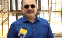
Speaking at the symposium, Aqeel described climate change as a major challenge and stressed the importance of modern scientific information and timely data in tackling its effects.
He said Sindh's coastline faced multiple threats and satellite technology could be effectively used to monitor changes in coastal areas.












This material may not be published, broadcast, rewritten, redistributed or derived from. Unless otherwise stated, all content is copyrighted © 2026 The Express Tribune.






COMMENTS
Comments are moderated and generally will be posted if they are on-topic and not abusive.
For more information, please see our Comments FAQ