Flood warnings trigger evacuation along Nullah Leh
Many traders empty their warehouses, shift goods to secure storage to avoid flood losses
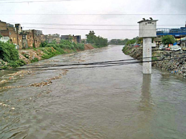
As the pre-monsoon season approaches, residents and traders living near Rawalpindi's low-lying areas and along the 22-kilometre-long Nullah Leh have begun moving their belongings to safer locations. Many traders in the inner city have already emptied their warehouses and shifted goods to secure storage to avoid flood losses.
Once a pristine stream fed by springs and rainfall from the Margalla Hills, Nullah Leh entered Rawalpindi at New Katarian, flowing through both city and cantonment areas before merging with the River Soan.
Over 500 years ago, Mehmood Ghaznavi camped beside its banks. Aryan settlers made it their home centuries ago, and Arya Mohalla still bears their name. Until 1925, it had clean, fish-filled waters used for drinking and religious rituals.
After partition, unchecked urbanisation and industrial waste transformed it into a sewage drain. Municipal records show the nullah spans 500 to 1,000 feet in width and stretches 22 kilometres, 11 km through the city and the rest through cantonment zones.
Floods through the years
Rawalpindi has witnessed at least seven major floods over the decades. The most devastating occurred on July 23, 2001, killing 65 people and hundreds of animals, and causing damages worth Rs7 billion. Subsequent floods in 1967, 1969, 1972, 1975, 1982, and 1986 also caused significant loss of life and property.
Despite repeated pledges by successive governments, including those of Zulfikar Ali Bhutto, General Zia, Nawaz Sharif, and Benazir Bhutto, to resolve the issue through projects like the Leh Expressway and separate sewage tunnels, no plan has been fully executed.
Unfulfilled promises
In 2007, the then-President General Pervez Musharraf launched the Nullah Leh project at an estimated cost of Rs17 billion. Only 25% was completed before the project was shelved in 2008. The cost has now surged beyond Rs100 billion.
Every year, WASA and district officials claim to desilt the drain with a reported annual budget of Rs140 million, but locals say the results are negligible.
High-risk areas
According to an estimate, approximately 0.7 million residents and traders live in these flood-prone zones. The most flood-prone areas include Nadeem Colony, Javed Colony, Arya Mohalla, Dhoke Elahi Bakhsh, Chah Sultan, Raja Bazaar, and Gawalmandi, among others. These densely populated localities suffer extensive damage each year.
Significance of Leh Expressway
WASA Director Admin Umar Farooq claimed that desilting work on Nullah Leh and 15 associated drains has been carried out efficiently this year. Deputy Commissioner Hasan Waqas Cheema said that all departments are on high alert and that the Pakistan Army's Triple-One Brigade remains on standby.
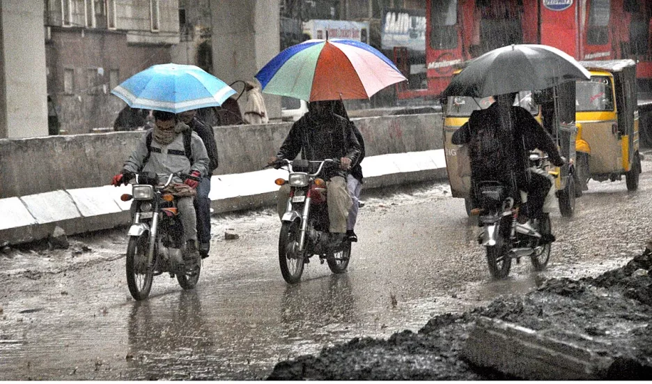
However, residents such as Haji Noor Deen and Fazal Elahi remain unconvinced. They say official preparations are largely cosmetic, and the first pre-monsoon rain last Saturday already left streets submerged in up to two feet of water.
Many families are once again packing up and evacuating, bracing for yet another season of flooding. Experts believe that until the Leh Expressway is constructed and a separate tunnel is built for sewage, Nullah Leh will continue to wreak havoc year after year.














COMMENTS
Comments are moderated and generally will be posted if they are on-topic and not abusive.
For more information, please see our Comments FAQ