A massive winter storm spreading across the U.S. West into the Northern Plains and Midwest on Tuesday could produce blizzards, brutal cold, and record snowfall, making road travel treacherous and disrupting air travel.
The National Weather Service issued winter storm, blizzard and high-wind advisories for a broad swath of the western and north-central United States. Up to two feet (61 cm) of snow and winds of up to 60 miles (97 km) per hour were expected in some spots from Tuesday through Thursday.
Snow falling at a rate of two inches an hour and gusty winds will make travel conditions treacherous and perhaps impossible in parts of the Northern Plains and the Upper Midwest, the service said in its forecast.
"Snowplow crews will be out working statewide, but this storm could be a doozy," the Minnesota Department of Transportation said in a tweet.
While much of the United States will grapple with cold, snowy weather over the next several days, parts of the South may, by contrast, see record high temperatures this week.
Some spots in the South may have temperatures that are over 100 degrees Fahrenheit warmer than some places in the Northern Plains, the forecast showed. Orlando could hit a record high of 90 degrees (32 C), while the temperature is expected to drop to -16 (-27 C) in Billings, Montana, the NWS said.
The slow-moving storm started over the Presidents' Day holiday weekend, bringing heavy rain to parts of California and snow to the Sierra Nevada mountains. On Tuesday, it was centered over the northern Rockies and the High Plains, including Montana and the Dakotas.
Starting Wednesday, the storm will move into the Upper Midwest with "some of the greatest impacts in Minnesota and Wisconsin," said Frank Pereira, a forecaster with the NWS Prediction Center in College Park, Maryland.
Late on Wednesday through Thursday, the storm will bring heavy snow and freezing rain to New England. New Hampshire, Vermont and Maine could get a foot or more of snow, Pereira said.
The lingering storm could also dump snow across California. Nearly all of the state's 39 million residents will either witness snow falling or be able to see the tops of nearby mountains covered in snow this week, UCLA climate scientist Daniel Swain said.
Strong winds knocked out power to more 163,000 California homes and businesses on Tuesday, largely in the counties just south of San Francisco, as peak wind at San Francisco International Airport reached 68 mph (109 kph) on Tuesday afternoon, the weather service said.
Preparing for blizzards
Officials in Minneapolis told residents to prepare for blizzard-like conditions on Wednesday and Thursday, telling them to move their vehicles off the streets.
The city of 425,000 people could see as much as 20 inches of snow, which would be the most for a February snowstorm and one of the top five heaviest snowfalls of all time in a Midwestern city already renowned for its brutal winters, according to the state's Department of Natural Resources.
Weather conditions were quickly deteriorating in Montana, Wyoming and North Dakota on Tuesday. Snow bands and strong gusty winds were causing whiteout conditions in Great Falls, Montana, the NWS said.
The storm will cause wind chill temperatures to drop to -25 Fahrenheit, which could cause frostbite on exposed skin in as little as 30 minutes, forecasters warned.
The growing frequency and intensity of such storms, interspersed with extreme heat and dry spells, are symptoms of climate change, experts say.
Transportation officials in Minnesota, Nebraska and the Dakotas urged motorists to drive slowly or stay off the roads altogether over the next couple of days.
More than 480 flights in and out of Denver, Minneapolis, and Salt Lake City, Utah were delayed or canceled. In all, more than 1,300 flights were delayed or canceled in the United States as of Tuesday afternoon, Flightaware.com reported.
Although the snow storm could wreak havoc on daily life, it was welcomed by skiers.
"KaBoom!," the Jackson Hole Mountain Resort in Wyoming said in a tweet. "We're in the grips of a powerful storm and delays due to strong winds and heavy snow are likely. Thanks for your patience as we prepare paradise for you."
Down in Florida, locals were preparing for a different kind of recreation.
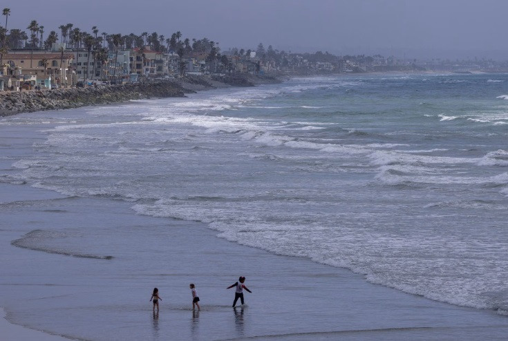
"We regularly hit 80s in February every year, but once we start going in that 85 to 90 range, that is much above normal," said NWS meteorologist Jason Hess in Jacksonville. "It's the early beach season for us down here."


-(14)1720679028-0/(image-blakelively-on-Instagram)-(14)1720679028-0-165x106.webp)

1731028448-0/Untitled-design-(37)1731028448-0-165x106.webp)


COMMENTS
Comments are moderated and generally will be posted if they are on-topic and not abusive.
For more information, please see our Comments FAQ