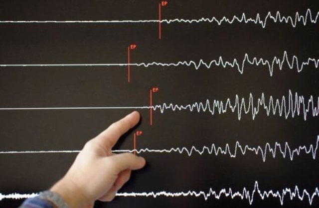
The quake hit just after 4pm local time (0600GMT) at a depth of 31 kilometres (19 miles) some 122 kilometres (75 miles) south of Kokopo, the capital of PNG's East New Britain province, the USGS said.
Geoscience Australia senior seismologist Trevor Allen said coastal communities near the epicentre would have felt "quite strong ground shaking" as the tremblor was close to the shore.
But, he said, the area was relatively sparsely populated and flexible building design locally helped limit exposure to damage from quakes.
Major quake hits Caribbean, triggering evacuations
"The East New Britain region is one of the most seismically active regions in the world and would generally tend to get an earthquake of this size once or twice a year," he told AFP.
Miriam Koikoi, a receptionist at Kokopo Beach Bungalow Resort, told AFP the shaking was "not that big" and she had not seen any signs of damage.
PNG sits on the so-called Pacific Ring of Fire, which is a hotspot for seismic activity due to friction between tectonic plates.
Its mountainous and remote terrain means it often takes several days for information about damage from quakes to reach officials and aid agencies.
1725443747-0/Untitled-design-(5)1725443747-0-405x300.webp)


1724238420-0/Untitled-design-(3)1724238420-0-165x106.webp)

1728886577-0/trump-(15)1728886577-0-270x192.webp)


COMMENTS
Comments are moderated and generally will be posted if they are on-topic and not abusive.
For more information, please see our Comments FAQ