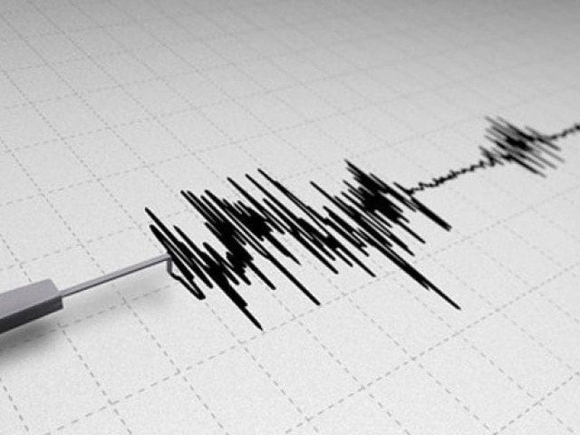
6.6 magnitude earthquake strikes off Canada's west coast
With no initial reports of damage or injuries, and no tsunami warning

PHOTO: EXPRESS/FILE
The epicenter of the tremor, which happened at 10:39pm (5:49am GMT Monday), was located about 135 miles (218 kilometers) southwest of Port Hardy - a small municipality on the northeastern tip of British Columbia's Vancouver Island.
There were no initial reports of damage or injuries, and no tsunami warning was issued.
The region is located near the Cascadia subduction zone, a fault line that lies offshore, stretching from northern Vancouver Island to Northern California in the United States.


COMMENTS
Comments are moderated and generally will be posted if they are on-topic and not abusive.
For more information, please see our Comments FAQ