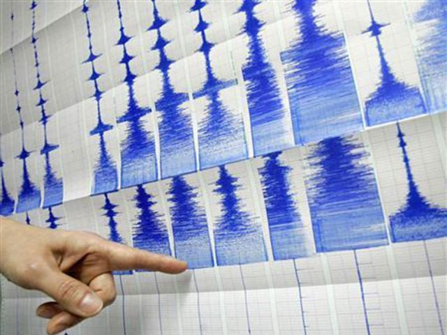
Powerful 6.5 earthquake strikes Indonesia: USGS
The Indonesian disaster mitigation agency said there were no immediate reports of damage or casualties

PHOTO: REUTERS
The earthquake hit at 5:02 pm local time (1002 GMT Friday), the US Geological Survey said, and was centred three kilometres (two miles) east-southeast of Andekanter in the Sumba region at a depth of 30 kilometres.
Prelim M6.5 earthquake Sumba region, Indonesia Feb-12 10:02 UTC, updates https://t.co/V6RFNxOlVa
— USGS Earthquakes (@USGS_Quakes) February 12, 2016
The Indonesian disaster mitigation agency said there were no immediate reports of damage or casualties.
"Currently our teams are still checking whether there have been any damages or casualties," the agency spokesperson Sutopo Purwo Nugroho told AFP.
Indonesia sits on the Pacific "Ring of Fire" where tectonic plates collide, causing frequent seismic and volcanic activity in the region.
A 6.9-magnitude quake that struck in the Banda Sea in December sparked panic but there were no reports of damage or casualties.


COMMENTS
Comments are moderated and generally will be posted if they are on-topic and not abusive.
For more information, please see our Comments FAQ