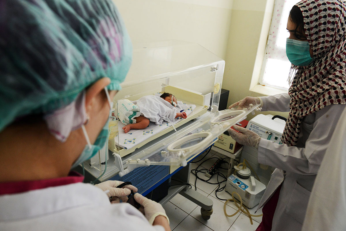
The USAID coordinates, gathered using Global Positioning System (GPS) as part of a $210 million initiative to make sure Afghans are getting access to health clinics, mistakenly placed 13 structures outside Afghanistan entirely. A further 30 facilities were found to be in a different province to the one initially reported, the watchdog claimed.
The flag was raised by the US Special Inspector General for Afghanistan Reconstruction (SIGAR), headed by John Sopko, who became famous for denouncing how the United States spent more than a $100 billion rebuilding the country since 2001.
"(Our) observations led us to believe that either the original USAID data or the new data was terribly inaccurate," Sopko wrote in a letter to USAID, made public on Monday.
The errors were discovered during an attempt to corroborate an initial set of findings provided by USAID in 2014. In the process, SIGAR found that the recorded position of the clinics were, on average, 55 kilometres away from their actual coordinates, with some hundreds of kilometeres away.
In its response, USAID defended the lack of accurate GPS data as having little impact on its ability to deliver quality health services or to monitor its health programme.
"The most important thing is ensuring these villages have access to quality health care," said Larry Sampler, assistant to the administrator in the Office of Afghanistan and Pakistan Affairs at USAID.
Sopko said he was concerned USAID was dismissing SIGAR's conclusions. A USAID spokesperson was quoted in US media in July saying he believed SIGAR's initial request for the data was informal in nature and that he regretted SIGAR did not share concerns about the data sooner.
Sopko said this was a "gross mischaracterisation" of SIGAR's request.


1732875433-0/BeFunky-collage-(6)1732875433-0-165x106.webp)
1732874090-0/BeFunk_§_]__§-(1)1732874090-0.jpg)

1732865927-0/Untitled-design-(74)1732865927-0-270x192.webp)


COMMENTS
Comments are moderated and generally will be posted if they are on-topic and not abusive.
For more information, please see our Comments FAQ